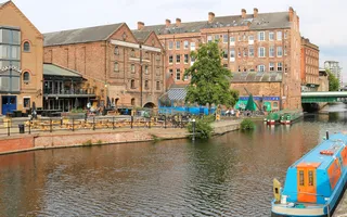
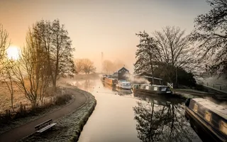
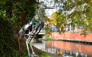
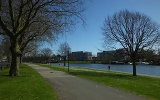
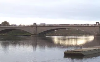
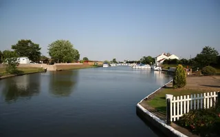
The mighty River Trent is one of England’s major rivers. It flows through the bustling city of Nottingham, the market town of Newark and the rural Trent Vale.
Running for around 95 miles from Shardlow to Trent Falls, where both it and the River Ouse empty their waters into the River Humber, the navigable Trent is a waterway of substance which still carries a considerable amount of commercial traffic - especially in its lower reaches. Below Cromwell Lock, it becomes tidal and is subject to a periodic tidal bore similar to that seen on the River Severn, but to lesser effect. This is locally known as an 'aegir'.
We look after the River Trent from Shardlow, where it becomes navigable, to Gainsborough Bridge.
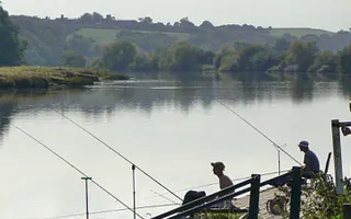
All sorts of activities along the River Trent
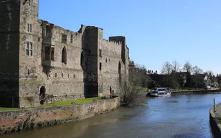
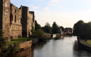
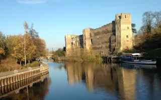
The Trent Valley Way is a long-distance walking route, following the banks of the river. The scenery is mostly arable farmland, with villages, churches, watermills and old ferry crossings along the way. Newark Castle sits directly on the banks of the river, its high stone walls dropping straight down to the water.
Near Nottingham is the National Watersports Centre, where you can do lots of exciting activities, including canoeing, sailing, water-skiing and rowing. The British Canoe Union is based here. For a more tranquil day out, there is the Attenborough Nature Reserve, a series of lakes that are home to a rich variety of wildlife.
Boating on the River Trent
For boaters, the broad and fast-flowing River Trent is a clear contrast to the canals. However, the tidal reaches below Cromwell Lock are only recommended for experienced boaters. Always check tide times and lock opening times before you travel. You can buy Trent timetables from Torksey Lock.
Days out along the River Trent
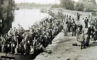
The history of the River Trent
Although the River Trent has been the subject of various Acts of Improvement since the 17th century, it has actually been used as a navigation since Roman times. It has long been a vital commercial link between the Midlands and the Humber Estuary; after transshipment at Gainsborough or Hull, loads could go on to London or the Continent.
The Fossdyke was built by the Romans from Torksey on the Trent to Lincoln, where it joined the River Witham. Various of the connecting rivers were made navigable in the 18th century: the Derwent to Derby, the Soar to Loughborough and the Idle to Bawtry.
Pressure to improve the Trent intensified after the opening of the Trent & Mersey Canal from Shardlow to Great Haywood in 1770, reaching the Potteries two years later.
Locks were built at Newark in 1773. Further locks below Nottingham and a towpath were made in the 1780s. North of Nottingham the river was improved by making long cuts bypassing the shoals on the river itself; these works were completed by 1801.
Meanwhile, the Erewash Canal had opened (1779) and the Soar Navigation improved with the construction of six locks (1780), followed by the opening of the Derby Canal (1795), Nottingham Canal (1796) and Grantham Canal (1797).
The River Trent had been navigable up to Burton-upon-Trent, but the Trent & Mersey Canal took away most of the traffic on this section, which became virtually disused by the early 19th century.
The railways arrive
The Trent company had four prosperous decades until the arrival of the railways led to toll reductions. By the 1880s the navigation was in a bad way. It was clear what improvements were needed in order to compete successfully: larger locks, a deeper dredged channel, and steam-powered boats. The necessary Acts were passed; despite money being difficult to raise, much work was done. Nottingham Corporation made major investments and took over the river between the city and Newark in 1927. After nationalisation in 1948 more work was done, culminating in the enlargement of Cromwell and Newark Locks.
These improvements proved successful: traffic rose from 200,000 tons in 1893 to 390,000 tons in 1910, 620,000 tons in 1937 and 1,020,000 tons in 1964. Commercial traffic has diminished since then, now being mainly gravel.
View images and larger map