The charity making life better by water

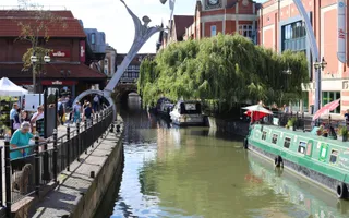
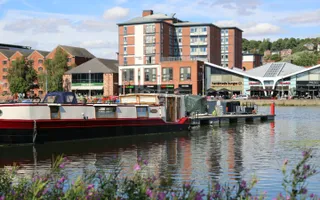
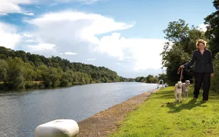
River running through town with boats on the right and people on a path on the left.

River Witham

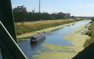
The River Witham flows through quiet, flat Lincolnshire countryside, and is very peaceful and remote for much of its length. Marshy fenlands stretch out for miles on either side, giving a real sense of space – and the sunsets can be spectacular.

River Witham

Length36.5 miles
Locks5

Maximum boat dimensions

Length20.2m 66ft 3"
Width5.3m 17ft 4"
Draught1.52m 5ft
Headroom2.74m 9ft

Free guides for fun days out

Looking for a perfect place to relax and unwind? Download your free regional guide today

Local to you

Show me places within...

Explore your nearest canals and ways to enjoy them Find walks, activities and more within:

of

At Boston, it passes the dramatic Boston Stump church tower, its great height all the more striking in the middle of the flat fenlands. At Fiskerton Fen Nature Reserve, you can see the thriving wetland and reedbed habitats that were largely lost when this area was reclaimed from the marsh. It is home to bitterns, marsh harriers, and the almost-extinct great water parsnip.

The Water Rail Way is a walking and cycling route that follows the course of the River Witham on the disused Lincoln to Boston railway line. Along the way, you can spot the sculptures inspired by all that is great about Lincolnshire.

One of the most distinctive features of this navigation is the ‘Glory Hole' at Lincoln, where the canal passes through an arch in an ancient half-timbered building which stands right across the water.

The number of facilities for boats has increased in recent years, with plenty of visitor moorings in calm and pretty spots. At Anton's Gowt, boaters can enter and explore the backwaters of the Witham Navigable Drains (not managed by the Canal & River Trust).

Find stoppages, restrictions and other navigational advice for this waterway.

The history

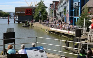
The River Witham has a transport history dating from Roman times. It becomes tidal at Boston, a seaport for over 800 years, before entering The Wash. The Sleaford Navigation (Kyme Eau) connects with the River Witham at Chapel Hill.

The Romans connected the river with Lindum Colonia, now known as Lincoln, and westwards to the River Trent via the Fossdyke Navigation in around 120AD. Agricultural produce was a staple.

High Bridge in Lincoln, known to boaters as the ‘Glory Hole', was built about 1160 AD, and thus is reputedly the oldest bridge in the country with buildings still standing on it.

A sluice was erected at Boston in 1500, later named the Grand Sluice, and rebuilt in 1766 with a lock alongside. Further locks were built on the river in the following years. The channel under High Bridge at Lincoln was deepened in 1795.

The navigation was leased to the Great Northern Railway in 1846 and the Boston–Lincoln line built alongside if for much of the way.

photo of a location on the canals
newsletter logo

Stay connected

Sign up to our monthly newsletter and be the first to hear about campaigns, upcoming events and fundraising inspiration