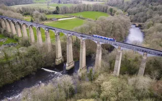
Our canals and rivers provide year-round opportunities for people to get out and about in the fresh air.
We want as many people as possible to experience the benefits of spending time by the water, so we’ve been gathering information on our towpaths and their access points to make it that bit easier for everyone to discover their local waterway.
Zoom into the map to find details on towpath surface, gradient and access points onto the canal. We've also highlighted high accessibility areas which may be suited to wheelchairs or pushchairs. Please note you will need to fully zoom in to see all available information.
Our key can be expanded by clicking the i icon on the map.
We'd love to hear your feedback
Help us make our map even more accurate by submitting feedback with just a few clicks. Our feedback form can be found on the map under individual access points and towpath sections.
Access points: the location and type of access on to the towpath
- ramp - the access point/routes include a ramp
- steps – the access point/routes include some steps
- fixed gate – kissing gates or similar, possibly restricting wheelchairs or pushchairs
- open access – simple opening mainly level
- movable gate – opening gate or similar
- locked gate – restricted access eg private moorings
Access paths: the paths that lead from access points to the towpath. These are often variable in condition and we do not own all of them.
High accessibility towpath: a stretch of towpath that is considered highly accessible
- solid or paved surface over 1m in width and in good condition
Towpath gradient: indicates where there is a gradient on the towpath, this is most often adjacent to locks or over bridges.
Places to visit: printable destination maps
Locks: locks on our network
Bridges: bridges that are over and on our towpath network
Canals: our canal network


