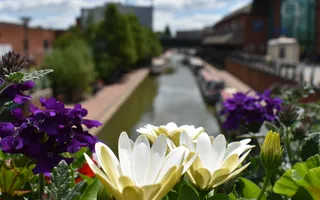
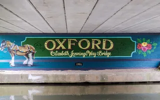
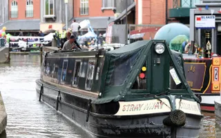
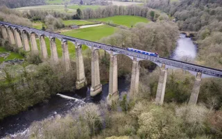
Oxford Canal is a truly beautiful waterway, winding through quaint villages and a stunning stretch of countryside.
The canal takes you from the beautiful university city of Oxford to the three spires of Coventry. The southern part of the canal remains largely unaltered, its winding course untouched by mid-19th century straightening programmes. This section is dotted with simple black-and-white lift bridges.
The Oxford Canal Walk is a long-distance route, following the towpath for 77 miles from Oxford to Hawkesbury. The gentle engineering of the canal, with few lock flights, means that you can walk the route (though you may need to check the condition of the path as grassy areas can get muddy). However, that's soon forgotten as you take in the stunning scenery.
The canal is home to a rich variety of wildlife. In Oxford, you may even be lucky enough to spot an endangered water vole – special measures have been put in place to protect an important colony here.
Days out along the Oxford Canal
The Oxford Canal offers some great destinations for a family day out. Download free fun-packed local maps and activity sheets for these areas and make the most of your trip to the canal.
History of the Oxford Canal
The Oxford Canal is among the earliest of cuts in the canal age. It was initially designed by James Brindley, succeeded by Samuel Simcock and Robert Whitworth after Brindley's untimely death in 1772 at the age of 56.
It was opened in sections between 1774 and 1790 with the purpose of bringing coal from the Coventry coalfields to Oxford and the River Thames. The canal formed part of Brindley's grand plan for a waterway 'cross' linking the rivers Thames, Mersey, Trent and Severn.
The Oxford Canal provided a direct link with London via the Thames, and for several years was hugely profitable. The arrival of the Grand Junction Canal, linking Braunston to London and later becoming the backbone of the Grand Union Canal, finally broke its stranglehold and effectively bypassed the southern half of the Oxford Canal.
Nonetheless, it brought more traffic to the northern section, which soon required upgrading. The Oxford Canal was originally built to the contour method favoured by Brindley, which not only meant that earthworks were minimised, but that the canal could call at many villages and wharves along the route. The drawback to this approach was lengthy transit times.
In the 1830s, Marc Brunel and William Cubitt made the most of developments in engineering to straighten Brindley's original line. Several of the resulting 'loops', where the new line bisected the old, can still be seen: some have found use as tranquil moorings. Other improvements included the duplication of locks at Hillmorton. Also in the 1830s, the stretch between Napton and Braunston, where the canal shares its route with the modern-day Grand Union Canal, was widened.
But the southern section between Napton and Oxford remains remarkably unspoilt and offers an evocative insight into canal life as it would have been two centuries ago. Trade began to seriously decline on the Oxford after World War II, but commerce continued well into the 1960s.
Tooley's Boatyard, in Banbury, is famous as the spot from where canal pioneer Tom Rolt set out on his 1930s journey around the waterways. His travels in Cressy were immortalised in the book Narrow Boat, which directly led to the formation of the Inland Waterways Association and the campaign to save the waterways. The boatyard has recently been reborn as the centrepiece of the Castle Quays shopping development.
The historic Oxford terminus of the canal is long lost, sold to Nuffield College and redeveloped as a public car park. However, support is growing for proposals to reinstate it as the heart of a new cultural quarter for the city.
Where does the water come from?
South Oxford Canal
The South Oxford Canal, from Napton Locks south to Oxford has multiple water sources. Its summit pound is prodominently reservoir fed and its lower reaches are river fed. North of Cropredy the water come primarily from reservoirs on the canal summit (Clattercote, Boddington and Wormleighton), supplimented by water being pumped up Napton Locks from the Braunston Pound and its Reservoirs near Daventry.
For over 20 miles, from Cropredy, through Banbury, to Thrupp, just north of Kidlington the South Oxford Canal runs alongside the River Cherwell, which provies multiple feeds to it.
From south Kidlington to its end in Oxford the canal runs alongside the Rier Thames. Water feeds the canal from several channels of the Thames and the canal drops down to the Castle Mill Stream channel at Isis Lock.
Flow in many of these feeders is uncontrolled, but at the Cropredy an adjustable titling steel river weir raises the level of the River Cherwell to divert water into the canal when needed.
Claydon Locks
Claydon Locks are a flight of 5 Locks descending south from the Oxford Canal Summit, the highest part of the canal. The water in Claydon Locks comes from the summit pound, which in turn is fed by three reservoirs, Beddington, Clattercote and Wormleighton. The summit pound is also fed by Napton pumps which recirculate lockage from the summit and also take water from the Braunston Pound.
The Oxford Summit is a 16.2km lock free stretch between Napton Locks and Claydon Locks.
Hillmorton
The River Swift supplies water to the three pairs of locks, about five miles away at Hillmorton on the Oxford Canal, near Rugby. River water is transferred along the disused Brownsover Arm to the lower canal level. Pumps lift water to the top of the locks when needed. Water also feeds the Top Lock from reservoirs further south, and small feeders (diverted streams).
The River Swift supplies water to the lower section of the canal via the Brownsover Arm. Daventry and Drayton Reservirs are the nearest reservoirs are the nearest reservoirs supplying Hillmorton Top Lock from the south. Reservoirs on the South Oxford Summit also contribute to the water supply.
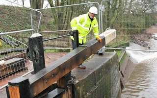
Hillmorton Locks is one of the busiest places on the canal network, with the locks typlically being used over 8,500 times a year. Each lock uses about 100,000 litres every time it fills and empties.
Napton Locks
Napton Locks are a flight of 9 locks descending from the Oxford Summit to the Braunston Pound on the Oxford Canal. The main source of water here comes from the three summit reservoirs: Beddington, Clattercote and Wormleighton. There are also back pumps at Napton which recirculate lockage water from the Braunston Pound back up to the summit.
Napton Reservoir is a balancing reservoir located three miles downstream of Napton Locks on the Grand Union Canal. Napton Reservoir is used to store and reuse lockage water pumped back up the Calcutt Lock Flight onto the Brauston Pound.


