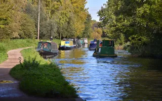
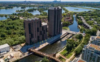
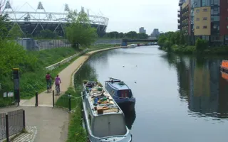
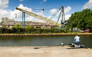
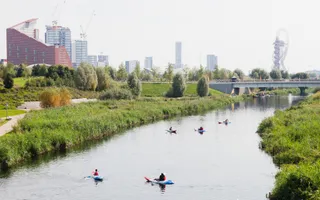
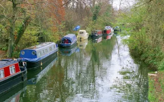
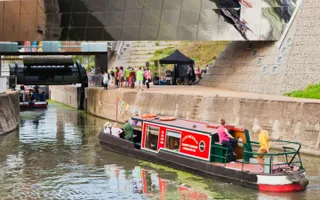
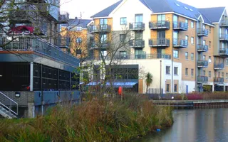
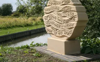
The Lee Navigation runs from rural Hertfordshire into the heart of London, and a picturesque and unbroken walking and cycling route runs the entire length of the river.
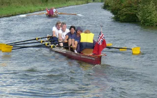
The River Lea is a natural river that has been improved for navigation, with straight sections added in to shorten the route. The Lee Valley Park follows much of the river, providing green open spaces, nature reserves, Lee Valley Park Farms and facilities for a variety of sports and watersports.
River Lea walk
Take a walk along the River Lea and feel better by water. Look out for local wildlife as you go.
The 2012 London Olympics led to a number of projects to improve the Lea Valley waterways for people and nature. A new riverside walkway has been created at the A11 in Bow, the towpath improved for walkers and cyclists and Three Mills House Mill has been restored.
The Lea Valley Walk follows the route along the Lee Navigation towpath, from Waltham Abbey to the Thames at Limehouse Basin. You can enjoy this walk in sections.
The history
The people of the Lee Valley have always called on their local river for many needs: transport, water supply, fishing, flood control, power for mills, and today, pleasure boating.
There is evidence of its use for transport as early as the Bronze Age. The improvements for navigation are among the oldest in the country. In the 17th century, Isaac Walton wrote The Compleat Angler based on his experiences of fishing the river.
The river was improved between Hertford and the River Thames under an Act of 1767. The river was increasingly heavily used as a water supply, but the works encouraged industry - such as small arms manufacture, gunpowder mills and furniture-making. In recent times, the area has become a focus for technological progress, such as computing and TV broadcasting - the first few series of Big Brother were filmed next to the navigation!
The River Stort joins the Lee a few miles below Hertford. Its narrower, more meandering course is of a totally different character. Together, the two rivers create over 40 miles of navigable waterways through the valley that since 1967 has been managed by the Lee Valley Regional Park Authority.
Where does the water come from?
Dobb's Weir Lock
Unlike canals, which can have multiple water sources and may cross between different river valleys, a river navigation follows the course of a river in its valley. The depth and flow of the water is modified by dredging, the use of weirs (submerged dams) across the river and artificial 'cuts' with locks which bypass the weirs, allowing navigation.
The water her comes from the River Lea, and tributaries including the River Stort, with a large catchment area. The navigable route alternates between artificial cuts and the natural river course.
The section of the River Lee Navigation downstream of the junction with the River Stort Navigation is a lacework of natural and artificial river courses. Dobb's Weir Lock lies on a man-made cut which bypasses Dobb's Weir on the river.
Enfield Locks
This section of the River Lee Navigation is a lacework of natural and artificial river courses. Enfield Lock lies on a man made cut with Small River Lea and Turkey Brook to the west and the River Lea and Cattlegate Flood Relief Channel to the east.