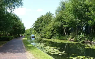
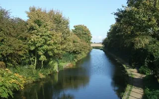
Parts of the canal are very rural, and it runs past a number of nature reserves and wildlife hotspots, including Pelsall Common and Rough Wood Nature Reserve. The tranquil, slow-moving waters of the canal itself are home to thriving aquatic plant life, including protected floating water plantain and grass wrack pondweed.
Chasewater Country Park
The Anglesey Branch of the canal runs to Chasewater Country Park - 900 acres of open space and water. The Park centres on Chasewater Reservoir, which was constructed to supply water to the canal. It is now a Site of Special Scientific Interest, with plenty of walking and cycling trails. You can make the most of the water with lots of exciting activities, including sailing, water-skiing and sub-aqua diving.
The Birmingham Canal Navigations also offers the Cannock Extension Canal as an intriguing short diversion off the Wyrley & Essington.
The Wyrley & Essington Canal was constructed entirely on the level, making for easy lock-free boating, away from the crowds in the central Birmingham Canal Navigations.
The history
The Wyrley & Essington Canal was built in the 1790s following an Act authorising a canal from Wolverhampton to the collieries at Wyrley Bank and Essington. The canal company later secured a further Act that enabled them to extend the line to Brownhills and then descend through 30 locks to Huddlesford on the Coventry Canal, plus the Daw End Branch to the Hay Head Limeworks and a short branch to Lord Hay's quarries.
Major traffic on the Wyrley & Essington was coal from the Cannock pits. Boats were gauged for toll purposes at a number of narrows formed by islands in the canal, several of which had characteristic octagonal toll offices.
Mining subsidence
Although built as a contour canal, in which the line followed the contours of the land, the Wyrley & Essington has been badly affected by subsidence occurring in the mines it was built to serve, and continual repairs have led to some sections now running on high embankments. Water supply was also a perennial problem.
The Bentley Canal linked the Wyrley & Essington with the Walsall Canal via the Anson Branch. One of the last major branches of the BCN to be lost, it was abandoned by the 1960s. Its junction with the Wyrley & Essington is now denoted by a modern pub and retail development.
Where does the water come from?
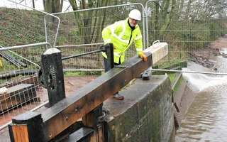
Parkhead Lock Flight on the Dudley No.1 Canal, locks down from the 73km Wolverhampton Level onto the Birmingham Level. The water is mainly supplied by Chasewater Reservoir and Bradley Pumps.
Chasewater (Cannock Chase) Reservoir, is the Trust's largest reservoir with a capacity of over 4,500 million litres.
Bradley Pumps lift groundwater from the coal measure at Bradley, in Wolverhampton.
Water from Chasewater Reservoir is transferred to Parkead Locks along the Anglessey Branch, Wyrley & Essington and Old Main Line Canals on one level.
The Titford Canal, also provide lockage water, topping up supplies to this level. Feeders also bring water into the canal.
When the canals were built water as already being pumped out of the coal mines so it was logical to use it in the canals. The Trust can pump up to 32 million litres of water per day at Bradley.


