The charity making life better by water

Water level and strong stream warnings

These are warnings about conditions that may affect navigation, such as varying water levels and faster flows.

We provide automated, near real-time data from a number of rivers showing local conditions. The information normally updates every 30 minutes, however please check the time the last reading was taken.

On some waterways we also provide manual information on flood lock and flood gate status. The manual sites will only show an update when they are adjusted. This means that some may well be quite old – potentially over 12 months. This doesn't mean that the information is out of date, only that there have been no issues to report.

Following flooding it is often necessary to remove silt and other debris before the gates can be reopened, so they may remain closed after river levels have returned to normal. Flood locks and floodgates may also remain closed for operational reasons. Skippers of all craft should always check gate status when planning passage.


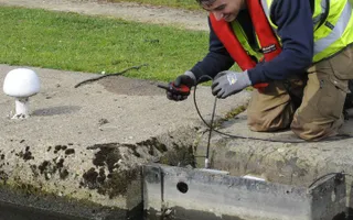


For the current status of flood locks and gates in the Yorkshire & Northeast Region, please consult our stoppage notices. These are updated with the latest information as flood locks and gates are closed and opened in response to rising and falling river levels.

We currently provide warnings for the sites listed, but plan to expand the system in the future. If a site you're interested in is not listed here, please check our stoppage notices, contact the local office for more information or check the Government flood warning information service for the latest river levels.

Last Edited: 29 August 2024

photo of a location on the canals
newsletter logo

Stay connected

Sign up to our monthly newsletter and be the first to hear about campaigns, upcoming events and fundraising inspiration