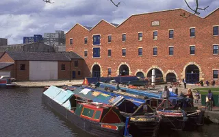
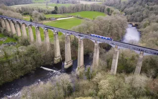
This presents a number of planning policy challenges in terms of unlocking the potential economic, social, wellbeing and environmental benefits of the network for local communities and economies. Due to the non-footloose nature of the waterways some flexibility may be needed within planning policy to recognise the locational constraints. Cross boundary working may be beneficial as part of the duty to co-operate.
The challenges faced might include a waterway corridor characterised by:
- The presence of inappropriate uses affecting the quality of the environment
- Limited or no public access to, from and along the waterway
- Poor quality waterside development
- Absence of destinations and attractions
- Shortage of water related facilities
- Poor perception and image of the waterway
- Anti-social behaviour
- 'Dead' waterspaces
- Low boat movement and footfall
To help planning policy makers in developing robust planning policies for waterways, a "waterproofing tool" was developed by the Town and Country Planning Association and our predecessor organisation. This tool has been updated to reflect changes in the plan making system including the introduction of neighbourhood planning. It sets out the overarching guiding principles for policy formulation which are applicable to all planning policy. There are then key waterway-related questions to consider when proofing policies. We also provide information about the value and benefits of waterways under number of different policy themes. These tools however are not designed to be a substitute to engaging with us during the plan making process.
A number of sections of the National Planning Policy Framework (NPPF) are important in respect of policies or development proposals relating to waterways or waterside development. The key areas of relevance are set out in Planning for Waterways and the NPPF (coming soon). The NPPF advises that "strategic policy-making authorities should collaborate to identify the relevant strategic matters which they need to address in their plans ... they should also engage with local communities and releant bodies". Not only do waterways cross administrative boundaries, we can use them to deliver strategic priorities. We're therefore happy to join in relevant “duty to cooperate” conversations.
Our predecessor organisation played an active role in the development of the London Plan and its Blue Ribbon Network. We hope that our experience of this can contribute towards the delivery of other spatial frameworks, at regional/sub-regional levels such as combined authorities.
We've produced "What your local waterway can do for your community: Planning for waterways in Neighbourhood Plans" to help neighbourhood plan making bodies in recognising the potential of their waterway.
There are also hundreds of miles of abandoned waterways. Many are being lovingly restored by dedicated volunteers. Details of potential restoration projects, proposed new canal links and historic waterways across England can be found on our canals over time map.
Local Plans: Delivering inland waterway restoration projects in England and Wales provides information and case studies of how planning policy has been used to protect the line of these projects in local plans. The principles set out in this document can be relevant to either neighbourhood or more strategic plans.
In addition to plan making, the government is introducing a new way to gain planning permission. This is to include the granting of permission in principle in a qualifying document (local plan, neighbourhood plan or brownfield register) followed by a technical details consent. For information on our role please see our pages on Permission in Principle.
Local Development Orders, Neighbourhood Development Orders and Community Right to Build Orders are generally prepared by those who make plans. For information on our role please go to our page on Development and Right to Build Orders.


